Bergischer Weg: Stage 7

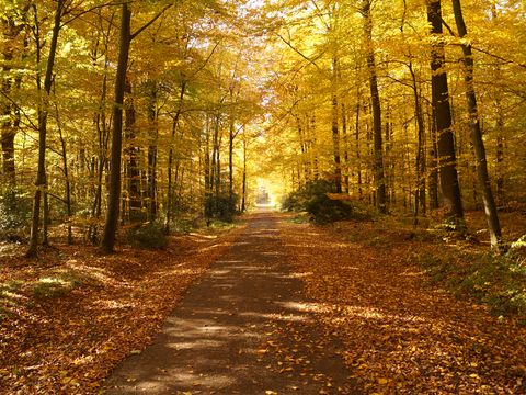
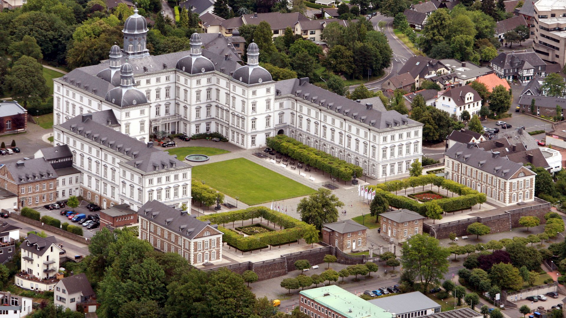
This stage is densely forested and runs through the 8,200 hectare nature conservation area of Königsforst and Wahner Heide. From the former small mining town of Bensberg with its Baroque castle complex, it’s on to Monte Troodelöh, the highest point in the Cologne city district. From there, the trail carries on to Rösrath-Forsbach. 
 

© Maren Pussak / Das Bergische

Description

  • Length:  14,1 km
  • Duration: approx. 4-5 hours 
  • Start point of the stage: Bergisch Gladbach-Bensberg; access route: approx. 1,3 km from underground station Bensberg  
  • End point of the stage: Rösrath-Forsbach; access route: approx. 1,1 km to Bensberger Straße / Hoffnungsthaler Straße 
  • Arrival by car: A4 to exit Bensberg, via L136 to Bensberg; Car park: Freibad Milchborntal or at the city hall Bensberg 
  • Arrival by public transport: DB Bahn: with S11 to S Bergisch Gladbach, then with bus 227, 420, 421, 423, 455 to U Bensberg; Straßenbahn: with tram line 1 to U Bensberg; Bus: with bus 101, 227, 267, 420, 421, 423, 454, 455, SB40 to U Bensberg 


Further information

  • Options for returning to the starting point: from bus stop "Halfenhof" with bus 423 to Bensberg 
  • Tourist Information Office 
    Stadtentwicklungsbetrieb Bergisch Gladbach - AöR
    Wirtschaftsförderung und Tourismus
    Rathaus Bensberg
    Wilhelm-Wagener-Platz
    51429 Bergisch Gladbach-Bensberg
    Tel.: +49 2202 141359
    E-Mail: tourismus{at}stadt-gl.de
© Maren Pussak / Das Bergische

Download GPX-Track 

Route management 

It appears that you are using Microsoft Internet Explorer as your web browser to access our site.

For practical and security reasons, we recommend that you use a current web browser such as Firefox, Chrome, Safari, Opera, or Edge. Internet Explorer does not always display the complete content of our website and does not offer all the necessary functions.